
Building & Construction
Osprey sUAS...North Wales Commercial Aerial Drone Services.
Aerial Land Survey, Pre-Planning and Project Progress Imagery
The time, safety, and cost-saving benefits that our drone data offers are realized from the very outset of a project to the 'signing off' and even future maintenance.
Companies, organizations, and individuals can use our drone pilots in a variety of ways: from site locating and surveying to land surveys and building inspections, pre-planning to monitoring a construction site’s evolution over time, project investment and budget phases, and even a final showcase for promotional purposes.
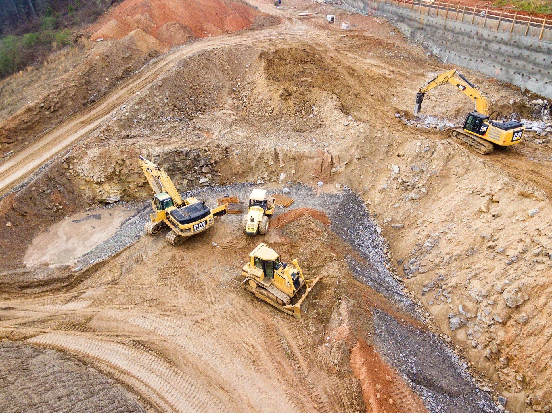
Unmanned aerial systems in construction are being deployed across the industry and recognized as another essential tool that supports your plans, from the surveyor to the project manager. We can provide you with the aerial data you need quicker and with greater perspective and context that will make more sense of a project.
Aerial drone surveys provide high-resolution, geo-accurate, and up-to-the hour overviews of a site with a spatial resolution of generally 5 cm/pix (which offers great detail) and down to 0.8 cm/pix.
The aerial data and imagery are collected much quicker and cheaper by our drones than alternative, helicopter visual inspections, thereby mitigating the common safety and time challenges.
This service will provide you with a visual appreciation you wouldn't otherwise get.
We can cover areas of several acres within an hour and up to approximately 140 acres in half a day, essentially "live," giving you up-to-the hour ground truth.
Drone digital imagery can be used to assess a site’s evolution, enabling you to better manage resources such as equipment, vehicles, and temporary stocks.
Not only are our drones able to achieve tasks quickly and efficiently, potentially saving you a small fortune from the project budget, but they also have low environmental and monetary costs.
Osprey sUAS Drone Assists...
- Pre-Purchase Land Survey/ Building Inspection
- Pre-Planning Survey
- Planning Phase
- Site Management
- Build Phases Weekly/Monthly Aerial Updates
- Working At Height Inspections
- Post Works Inspections
- Storm Damage Surveys
Challenge
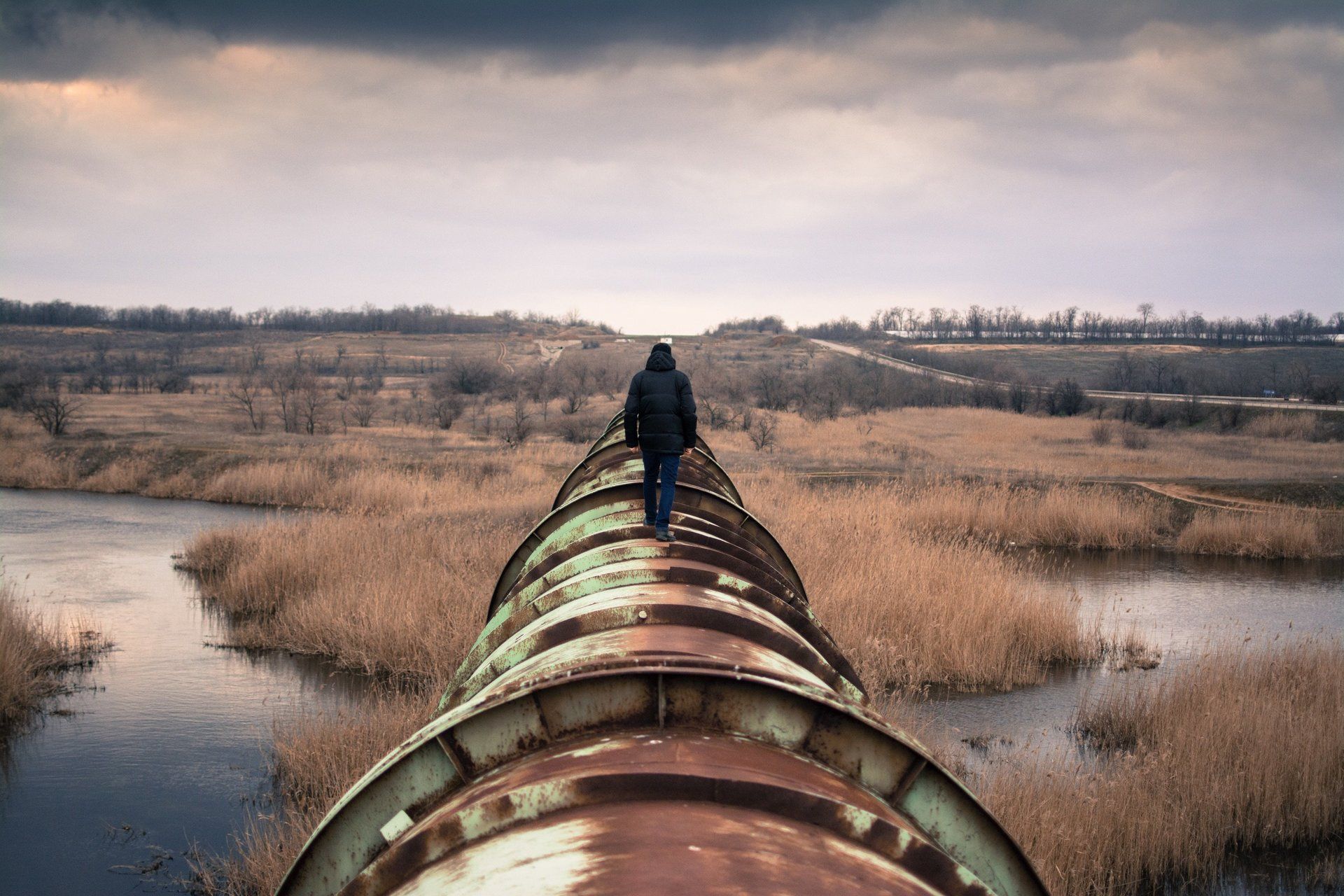
The inspection of infrastructures such as pipelines, bridges, dams, industrial structures and buildings have traditionally been time-consuming, expensive and often dangerous.
Obtaining up-to-date or 'live' aerial imagery of land or a site when you want can also be limited, impossible or otherwise using more expensive means.


Project Value
- Drones provide a uniquely efficient, more cost efficient and safe method of inspecting on building/construction sites that alternatively require scaffolding or spider lifts/cherrypickers, whilst adding to your projects 'Green Footprint' as well as yours as a company and its environmental support.
- You can have multi points covered in 1-2 hours rather than days/weeks, safely and without downtime or potential issues that could otherwise involve H&S.
- The digital imagery is easy to collaborate on and compare over time as well as giving an ongoing, historical and transparent process, and end production for your project portfolio.
CAA Approved & Insured for Commercial & Domestic Operations
-
![]()
LIVE SITE APPRECIATION
Button- In just one flight, 'Osprey sUAS' can collect all the imagery/data required to generate a highly accurate and live overview.
- Collect accurate imagery/data from above, in addition to your ground level information.
- Aiding your surveyors and geologists, plus improving management and planning.
-
![]()
-
![]()


