

Environmental
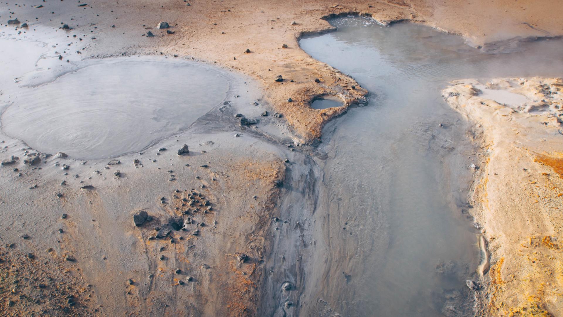
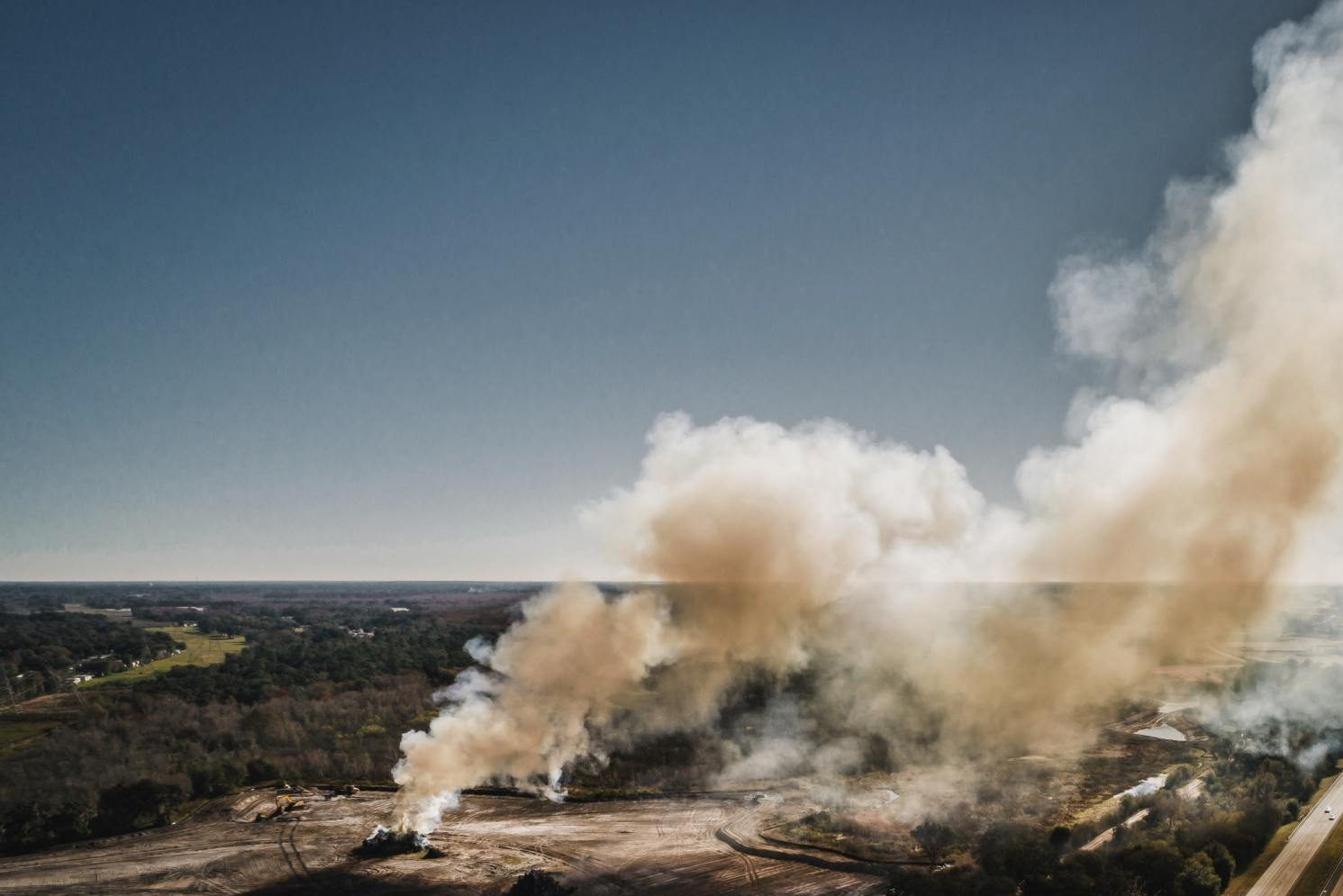
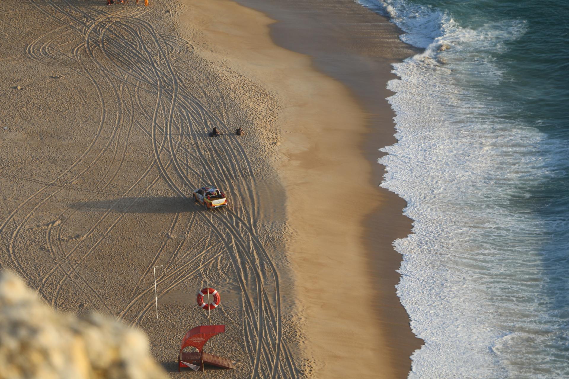
Aerial Overview Of Areas of Environmental Interest
Be that the negative effects caused by individuals or companies fly tipping or illegally disposing of waste/pollutants to the monitoring of positive changes to the way people/companies/organisations operate in the area they are working for the good and/or improvement of the surrounding environment.
Immediate and periodic monitoring using our aerial systems will provide imagery worth a thousand and one words.
Aerial imagery & video offers the bigger picture to better tell a story of what is or isn't going on down below at otherwise inaccessible areas, our drones can take you right to the heart of the matter; the high-res imagery and UHD video, or Thermal Imagery will help better understand original sources of issue and the full extent of the effect to the immediate environment.
Environmental Consultants, work in a field that depends on crucial data and the better the data quality, the better the opportunity to observe and interpret a given subject.
By incorporating our Unmanned Aerial System (UAS) technology into your operations, Osprey can acquire that essential visual data for you.
Not only are our drones able to achieve tasks quickly and efficiently, but they have low to zero environmental impact, and naturally low costs compared to alternative methods.
'Drones for Good'


Challenge
Whether as a result of the budget, the weather, environmental health & safety issues, potential trespass issues or timing constraints of a project, it is often NOT feasible to collect aerial imagery via foot or traditional aircraft.
Environmental Specialists will benefit from the availability of up-to-date, site-specific, cost-effective and repeatable aerial image data collection.
The flexibility & manoeuvrability of the SUA technology allows data to be collected from locations that are difficult to access, potentially dangerous and previously would have seen an otherwise substantial budget expense to get to.
This imagery and data can reveal how an area changes over time, down to the finest detail and can be used to model glacial features, monitor erosion, in coastal management, terrain modelling, forestry and in river and flooding assessments.
-
![]() Button
ButtonEnvironmental Pollution
-
![]()
-
![]()
-
![]()


Solutions & Value
Technologies for acquiring aerial imagery are rapidly developing, allowing for the commercial application of
UAS's that can overcome most, if not all and more of those challenges above.
Using one of our
Remotely Piloted Aerial Systems may just be that piece to complete your jigsaw, give you that edge and add weight to those environmental reports.
'Osprey sUAS' can provide you with a service that can quickly deploy, access and return otherwise delayed or inaccessible evidential imagery & video, both remotely and safely.
Rather than relying on outdated and internet-based satellite imagery that is often good to poor, you as a consultant, manager or researcher can now work with high definition up to the hour data.
We will plan mid-height overhead passes that can take flight times from a few minutes up to an hour, which will return information from several to 10’s of acres of ground information.
After the flight/s completion, all imagery and data will be transferred then processed ready for your assimilation & correlation, and depending on the area you wanted covering, this can be within the hour or up to 3 or 4hrs but certainly next day...essentially containing all the meta data...compare that to alternative methods and what information is gathered, all being project budget friendly and with absolute minimal carbon footprint.
In Conclusion
Drones are the perfect answer to fly into inaccessible or dangerous areas to assess and prevent environmental disasters. They gather information from places humans can’t reach or would otherwise require a huge task to gather an overall snapshot of the situation, allowing officials to determine how best to deploy resources, minimize damage and potentially save life.
The benefits of using this technology will soon be realized with their minimal environmental footprint, time-saving benefits and it recognising how critical they are for assessing the environment and reducing pollution and/or physical damage.
Contact us and see what we can do to assist your project.

