
Agriculture & Farming
Aerial Crop & Livestock Monitoring/Mapping
Precision technology and monitoring of crops from the sky using drones looks set to gain more efficient crop insights and to more accurately plan and manage your operations.
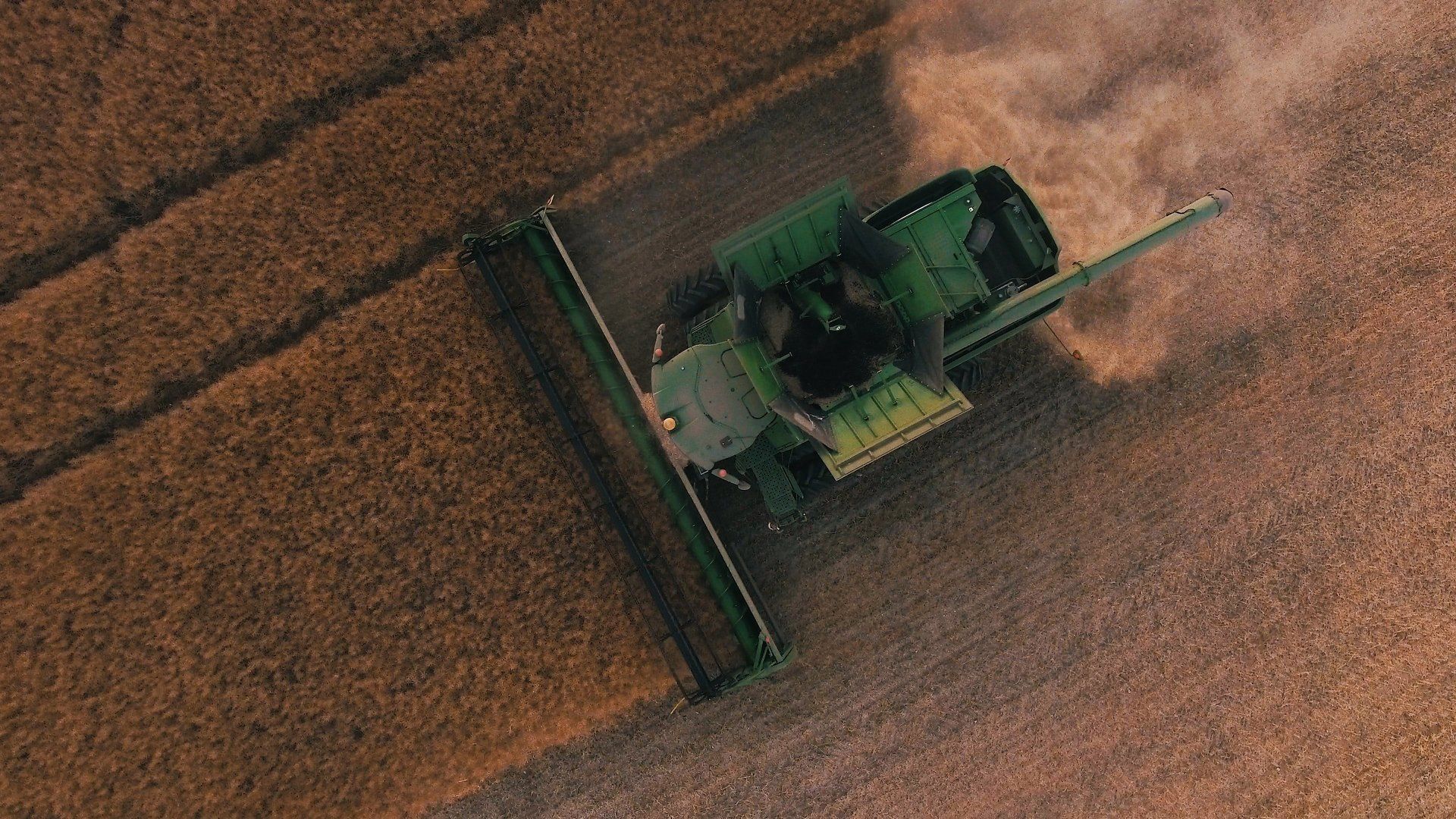
Drone technology adds value throughout the seasons, from monitoring plant emergence right through to pre-harvest yield prediction and drainage planning for the next season.
Not only are drones able to achieve tasks quickly and efficiently, but they have low environmental and monetary costs.
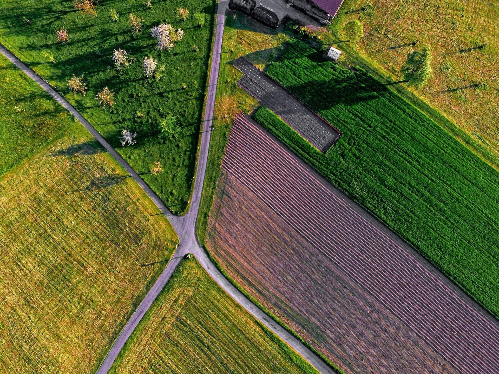
Stay one step ahead, and see what you aren't seeing from ground level.
Viewing from above is a real eye opener, and very much a realization moment that otherwise until it is seen, very underestimated.
Beneficial Feedback
Our UAS's can provide you with a holistic view of a crop’s growth. We currently offer vegetation data imagery based on the VARI algorithm; an affordable startpoint enabling you to quickly & precisely identify issues, to better target your field monitoring.
The High-resolution drone data allows you as an agricultural professional or your agronomist to assess crop vigour at different stages of growth.
This VARI algorithm means you will not need to jump straight into the other deeper spectrums of analysis, those will be costlier and often used once issues have been identified, or you generally require a deeper understanding of plant biology.
In addition to this we can fly our thermal drone to offer small thermal differences and helps identify possible irrigational issues, and assist in helping you with precision agriculture.
So in using the dual camera, this offers side by side monitoring; VARI and Near Infra Red that plants reflect. So a 3-in-1 survey; a visual crop pattern, VARI and NIR imagery for you to work with.
Seasonal / Annual drone data can help better planning and monitoring of improvements, such as ditches, drainage, the right application rates of fertiliser, reduced wastage and therefore optimises crop health & production.


Planning & Insurance
Even at its base use, you can get so much from an aerial survey; using the data to better understand which plants emerge, as well as population and the spacing metrics.
Again, you can use this information to help with your replanting decisions, thinning and pruning activity, and view to improving crop models.
The on-demand, high-resolution drone data is perfect for capturing and accurately reporting events that could contribute to economic loss, such as crop injury, destruction and reduced health, this could help to create a more efficient insurance process.
Contact us and see what we can do to assist.

